Reproducible Sim-to-Real Traffic Signal Control Environment

Reproducible Sim-to-Real Traffic Signal Control Environment

General Information

Reproducible Sim-to-Real Traffic Signal Control Environment

As urban environments become increasingly populated and automobile traffic soars, with US citizens spending on average 54 hours a year stuck on the roads, active traffic control management promises to mitigate traffic jams while maintaining (or improving) safety. 
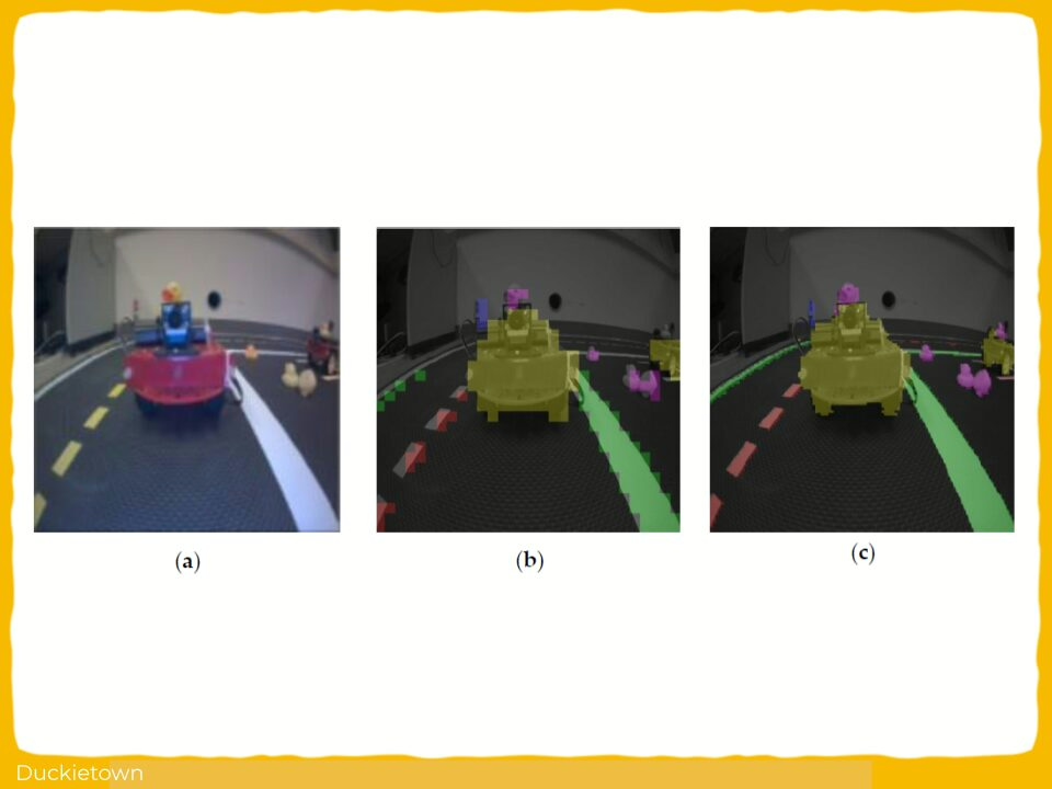
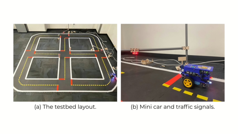
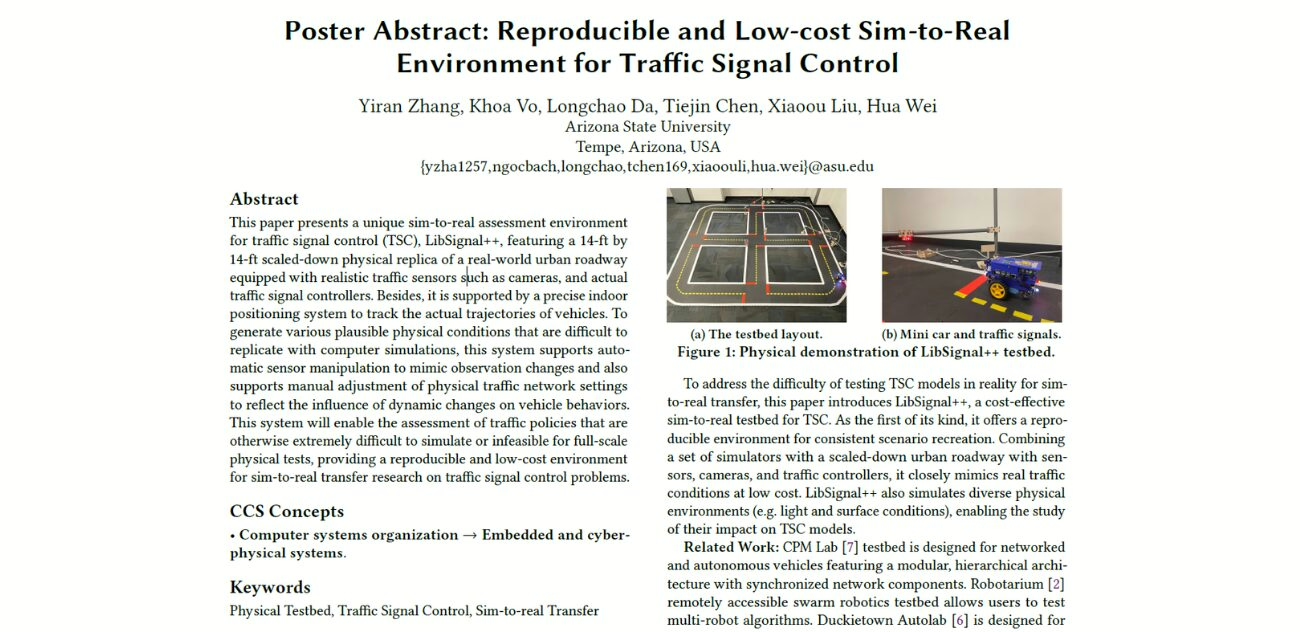
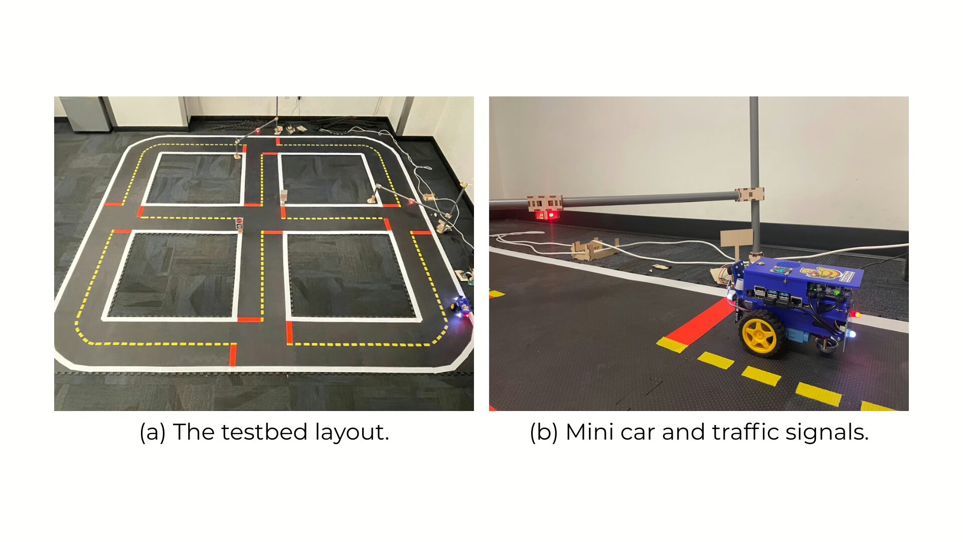
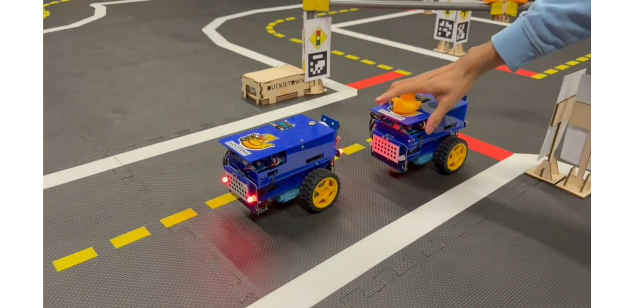
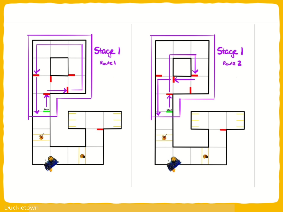
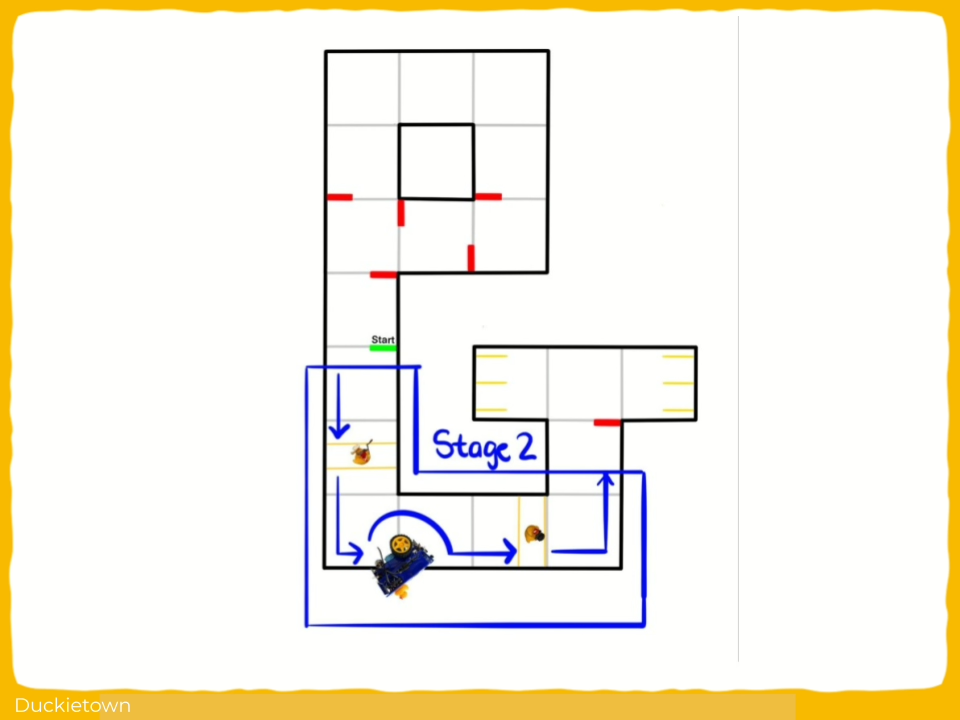
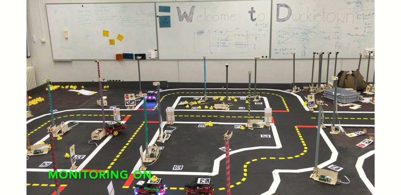
LibSignal++ is a Duckietown-based testbed for reproducible and low-cost sim-to-real evaluation of traffic signal control (TSC) algorithms. Using Duckietown enables consistent, small-scale deployment of both rule-based and learning-based TSC models.
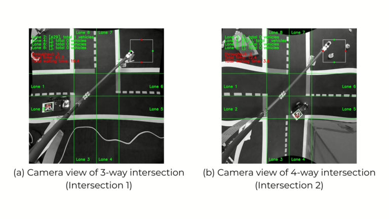
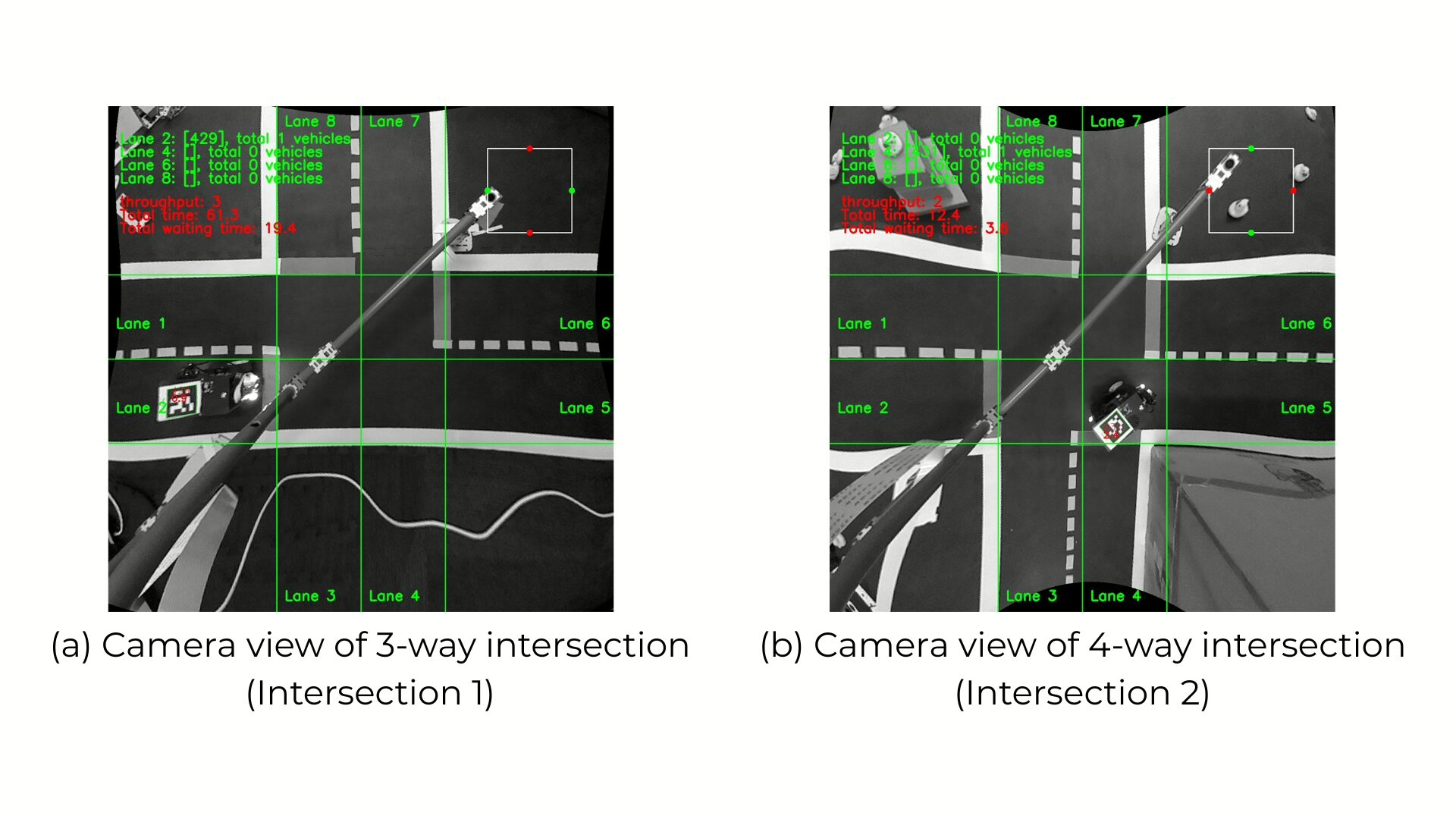
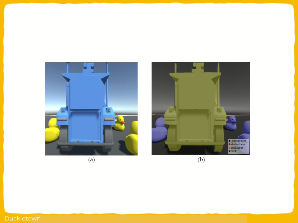
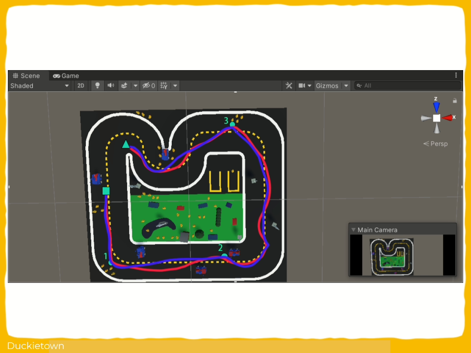
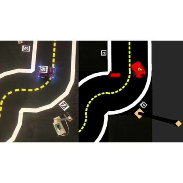
LibSignal++ integrates visual control through camera-based sensing and object detection via the YOLO-v5 model. It features modular components, including Duckiebots, signal controllers, and an indoor positioning system for accurate vehicle trajectory tracking. The testbed supports dynamic scenario replication by enabling both manual and automated manipulation of sensor inputs and road layouts.

Key aspects of the research include:

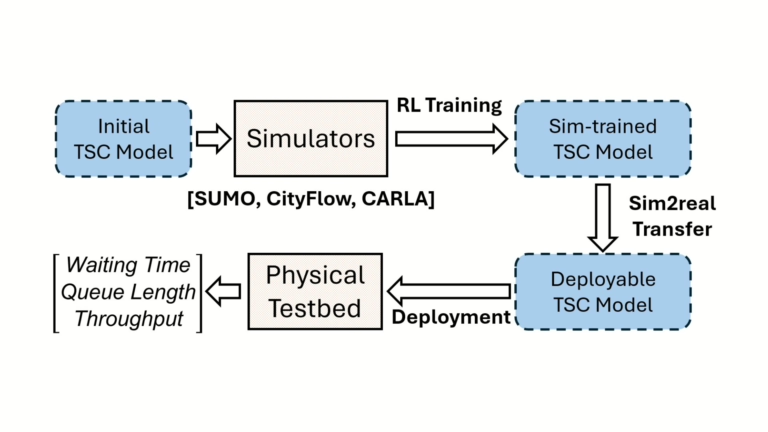
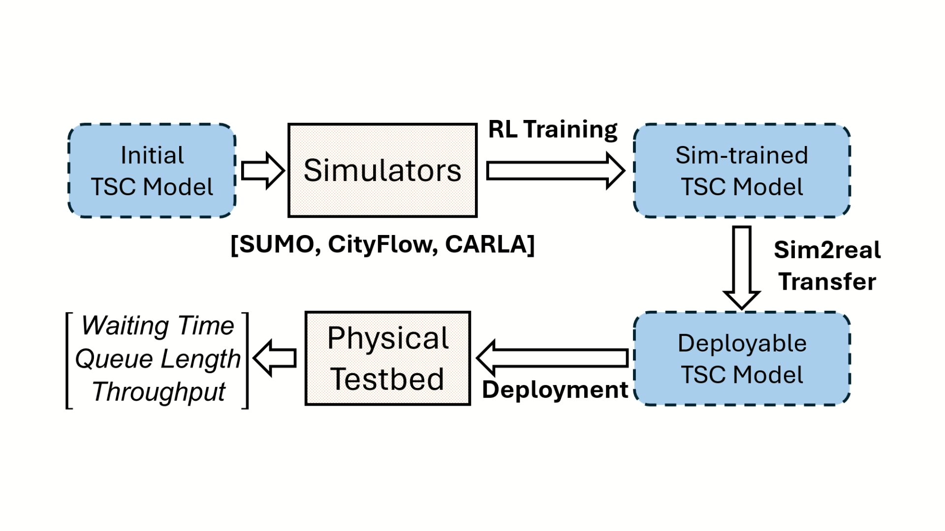
  • Sim-to-real pipeline for Reinforcement Learning (RL)-based traffic signal control training and deployment
  • Multi-simulator training support with SUMO, CityFlow, and CARLA
  • Reproducibility through standardized and controllable physical components
  • Integration of real-world sensors and visual control systems
  • Comparative evaluation using rule-based policies on 3-way and 4-way intersections

The work concludes with plans to extend to Machine Learning (ML)-based TSC models and further sim-to-real adaptation.

Highlights - Reproducible Sim-to-Real Traffic Signal Control Environment

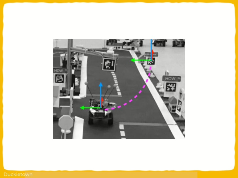
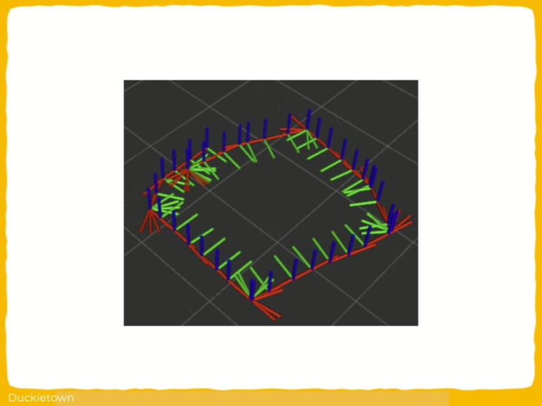
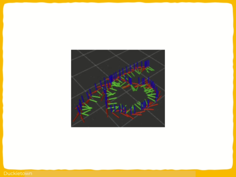
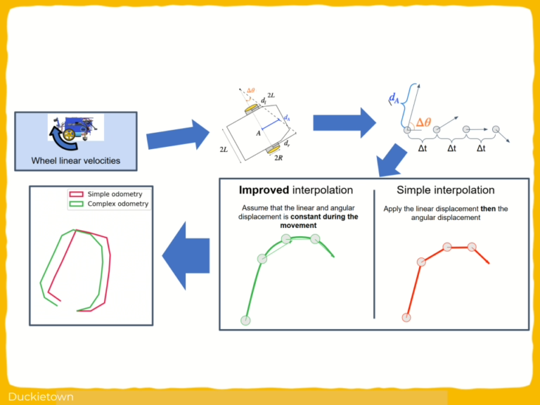
Here is a visual tour of the sim-to-real work of the authors. For all the details, check out the full paper.

Abstract

Here is the abstract of the work, directly in the words of the authors:

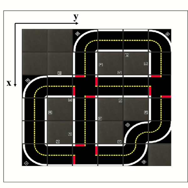
This paper presents a unique sim-to-real assessment environment for traffic signal control (TSC), LibSignal++, featuring a 14-ft by 14-ft scaled-down physical replica of a real-world urban roadway equipped with realistic traffic sensors such as cameras, and actual traffic signal controllers. Besides, it is supported by a precise indoor positioning system to track the actual trajectories of vehicles. To generate various plausible physical conditions that are difficult to replicate with computer simulations, this system supports automatic sensor manipulation to mimic observation changes and also supports manual adjustment of physical traffic network settings to reflect the influence of dynamic changes on vehicle behaviors. This system will enable the assessment of traffic policies that are otherwise extremely difficult to simulate or infeasible for full-scale physical tests, providing a reproducible and low-cost environment for sim-to-real transfer research on traffic signal control problems.

Results

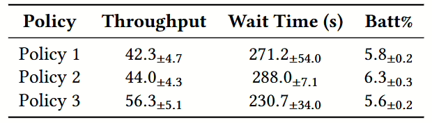
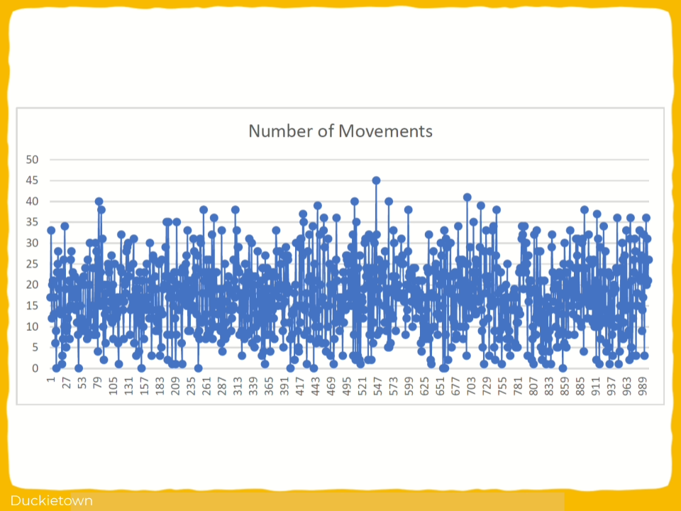
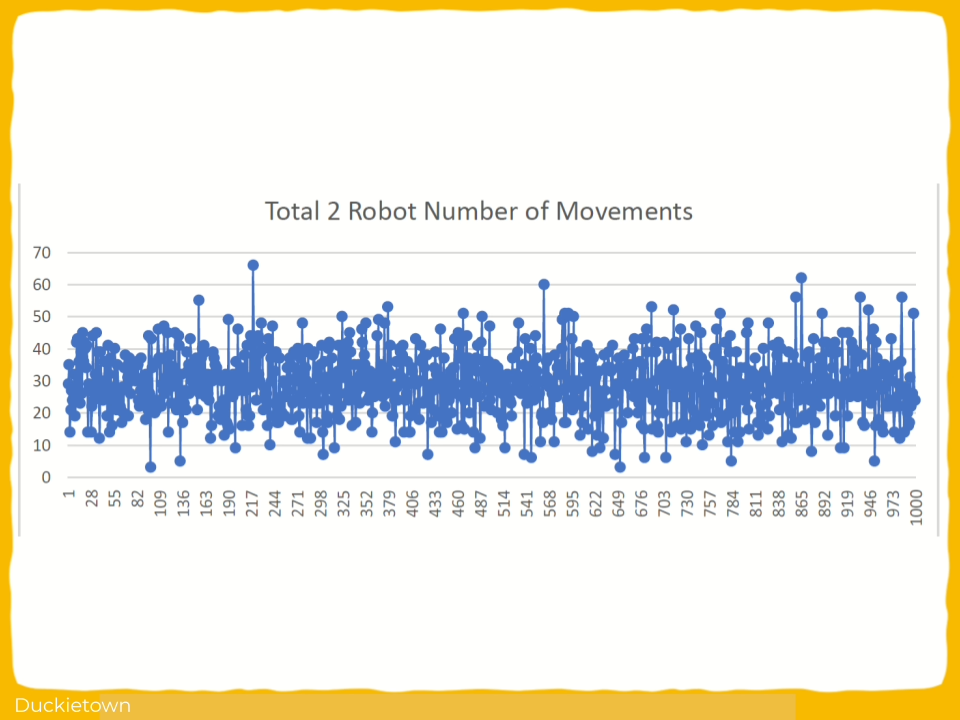
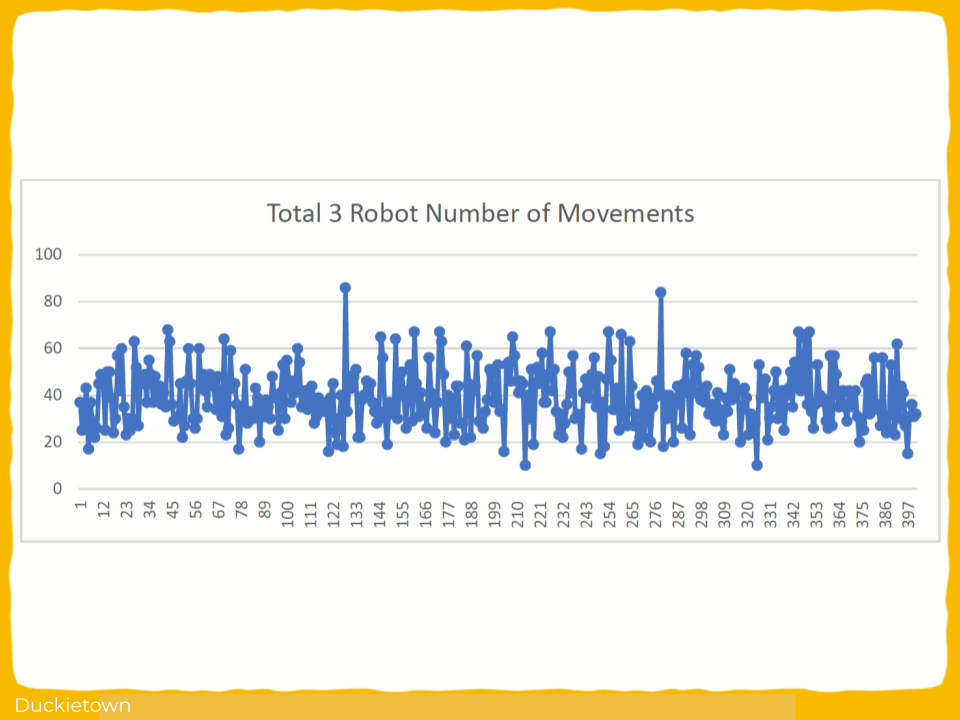
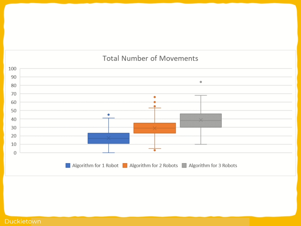
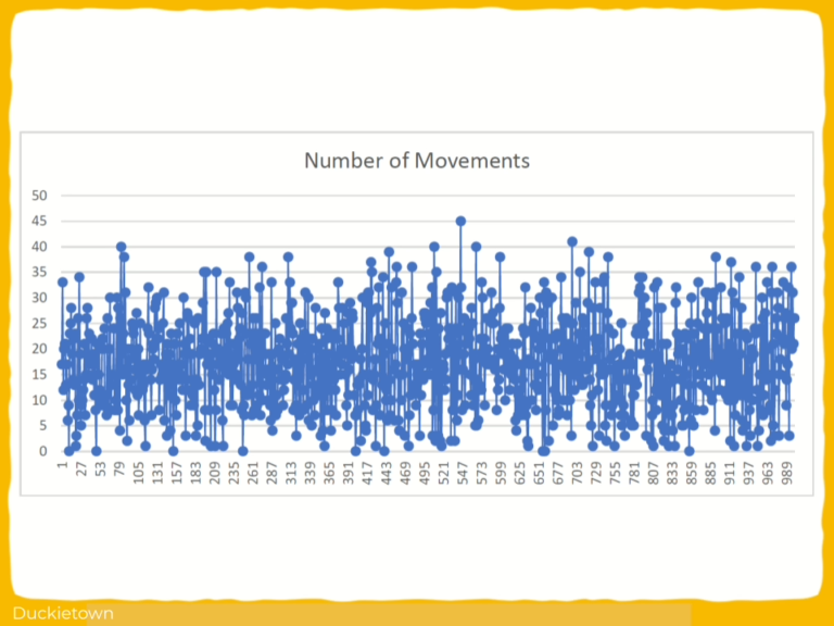
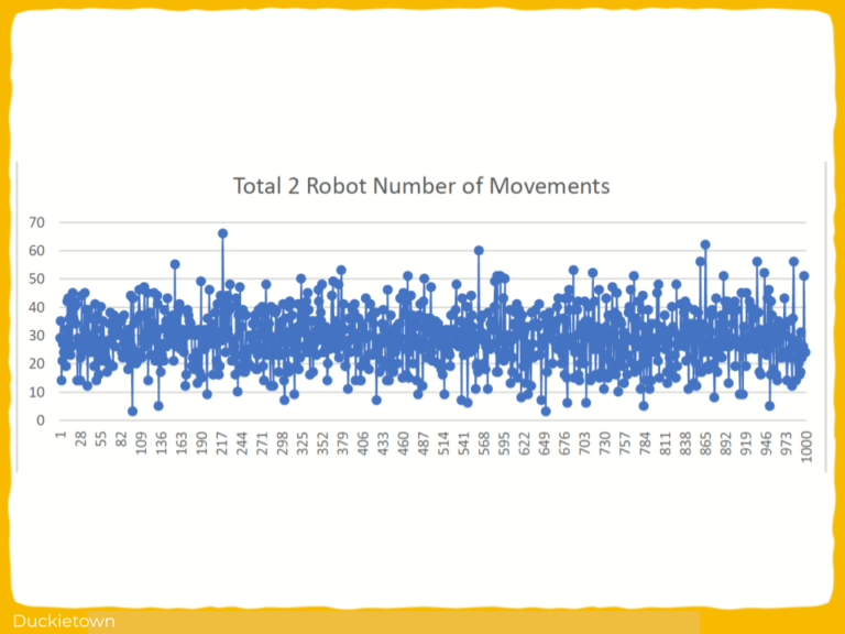
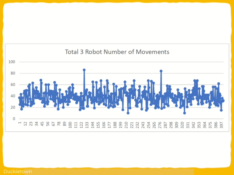
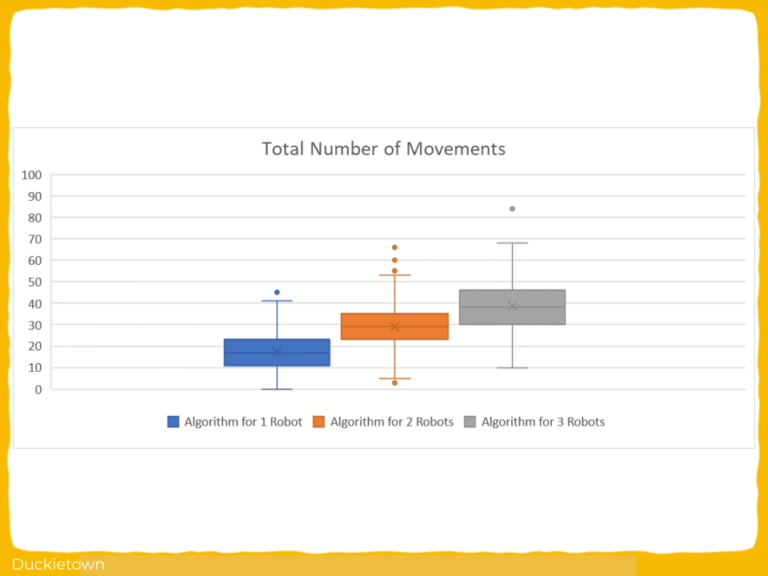
Three traffic control policies were tested over a number of experiment repetitions, evaluating each time traffic throughput, average vehicle waiting times, and vehicle battery consumption.  Standard deviations for all policies were found to be within acceptable ranges, leading the authors to confirm the ability of the testbed to deliver reproducible results within controlled environments.

TSC policies test
Did this work spark your curiosity?

Project Authors

Yiran Zhang is associated with the Arizona State University, USA.

Khoa Vo is associated with the Arizona State University, USA.

Longchao Da is pursuing his Ph.D. at the Arizona State University, USA.

Tiejin Chen is pursuing his Ph.D. at the Arizona State University, USA.

Xiaoou Liu is pursuing her Ph.D. at the Arizona State University, USA.

Hua Wei is an Assistant Professor at the School of Computing and Augmented Intelligence, Arizona State University, USA.

Learn more

Duckietown is a platform for creating and disseminating robotics and AI learning experiences.

It is modular, customizable and state-of-the-art, and designed to teach, learn, and do research. From exploring the fundamentals of computer science and automation to pushing the boundaries of knowledge, Duckietown evolves with the skills of the user.

Autonomous Navigation System Development in Duckietown

Autonomous Navigation System Development in Duckietown

Autonomous Navigation System Development in Duckietown

Project Resources

Project highlights

Autonomous Navigation System Development in Duckietown - the objectives

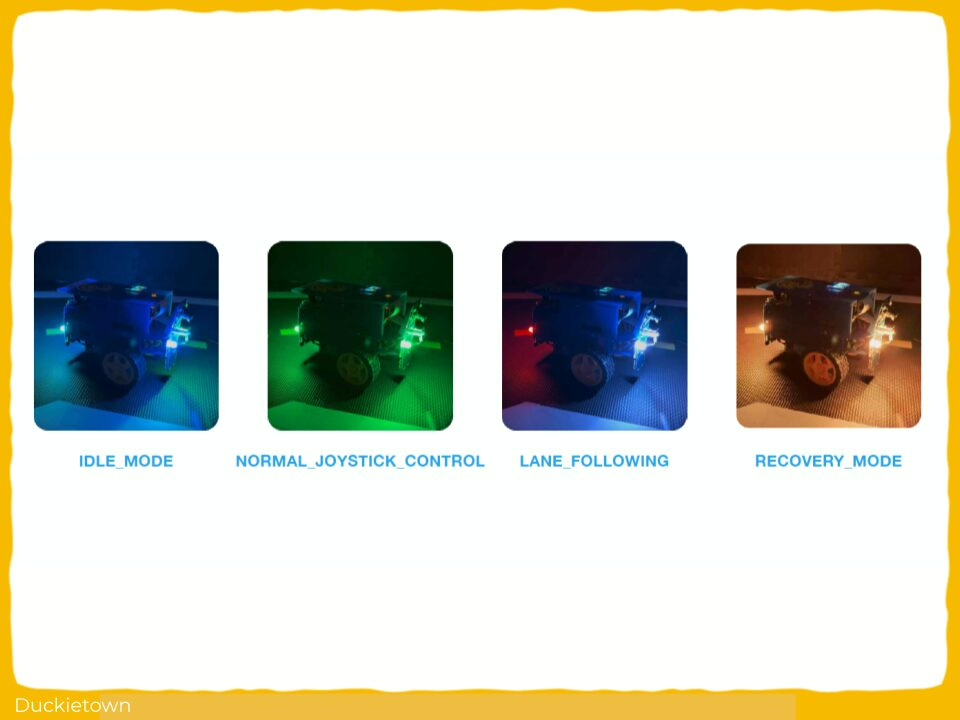
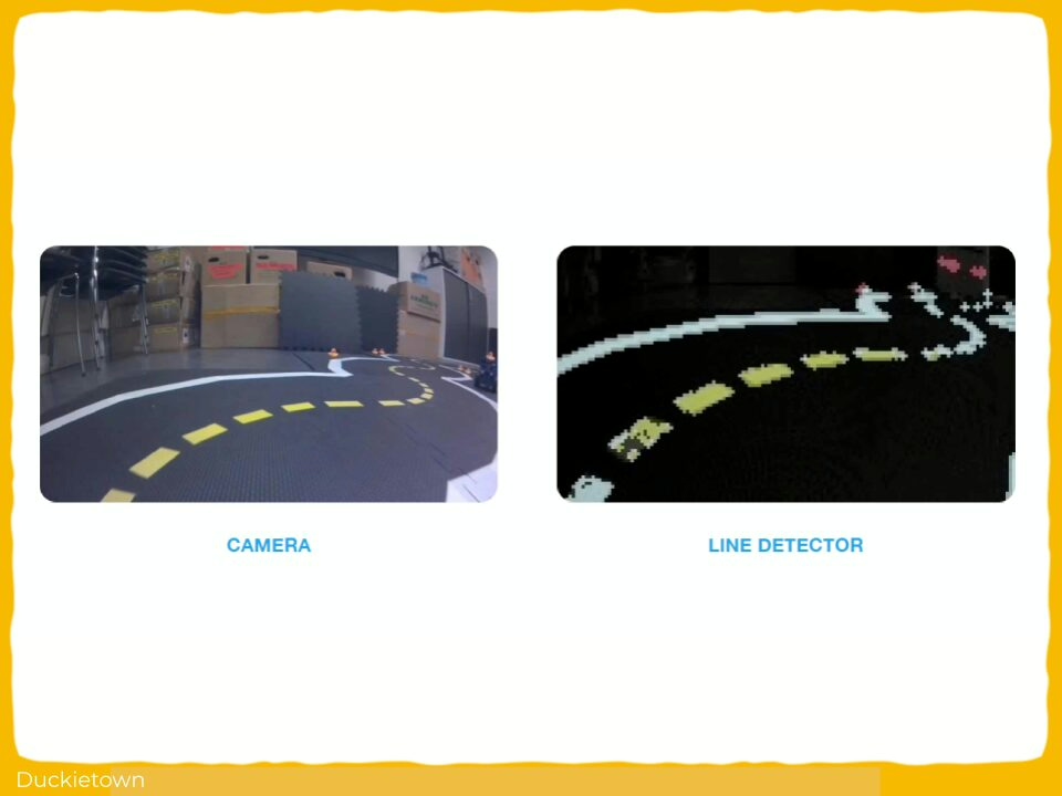
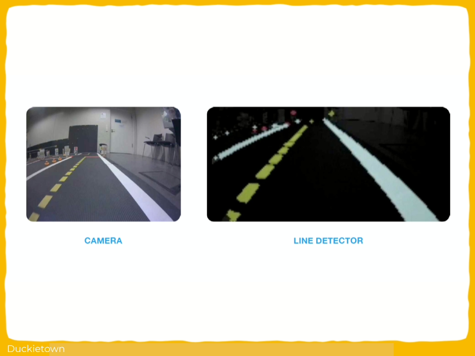
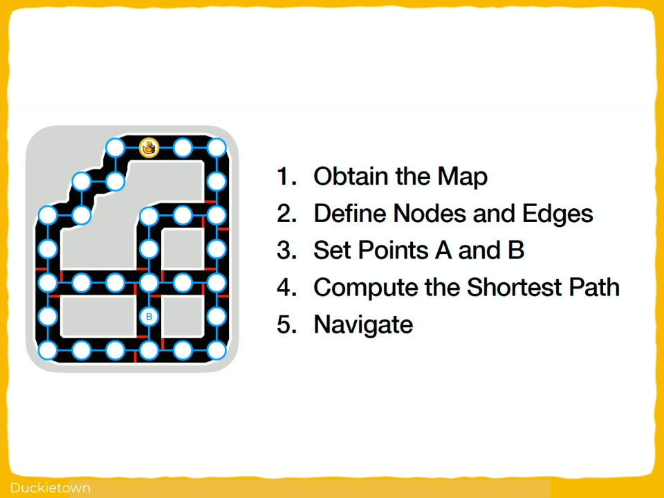
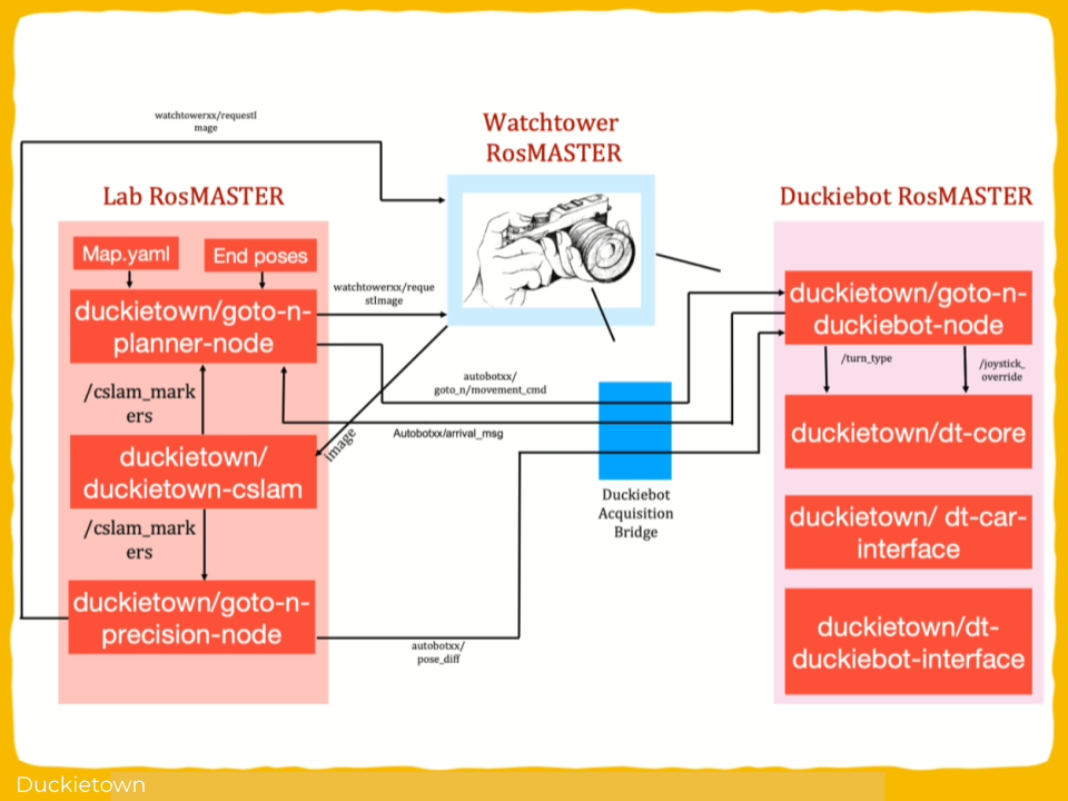
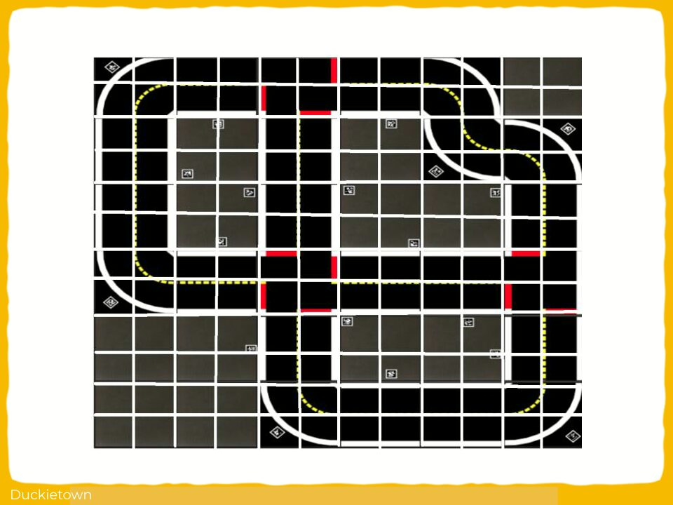
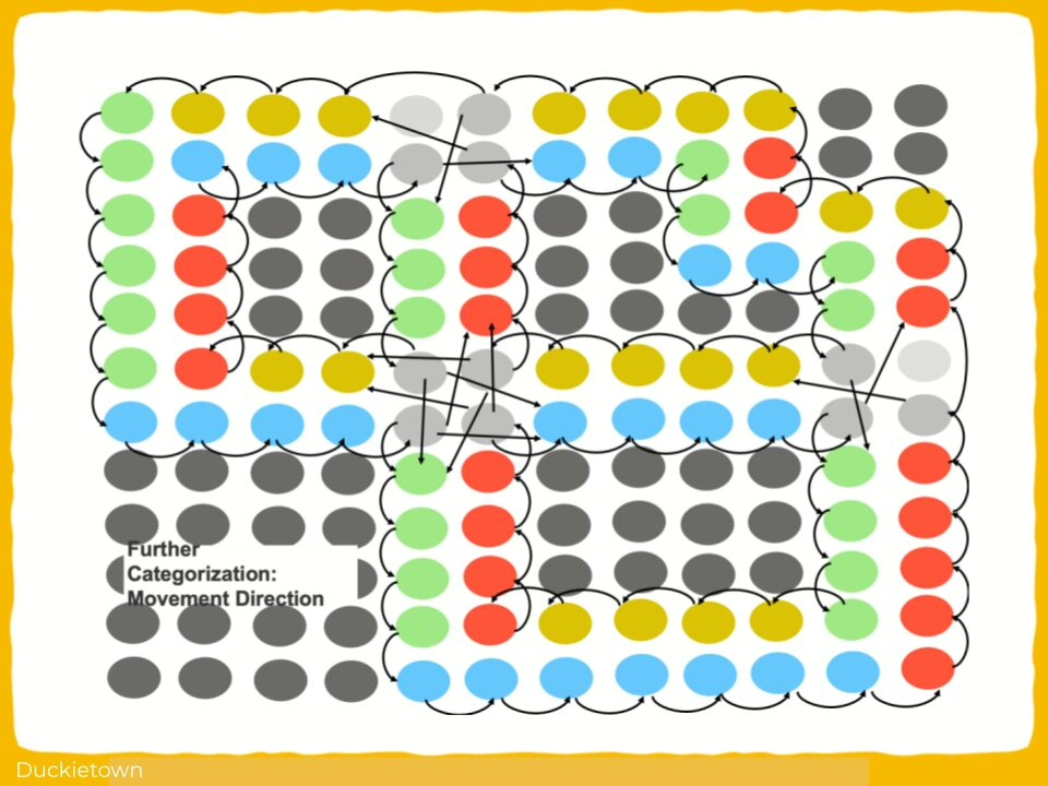
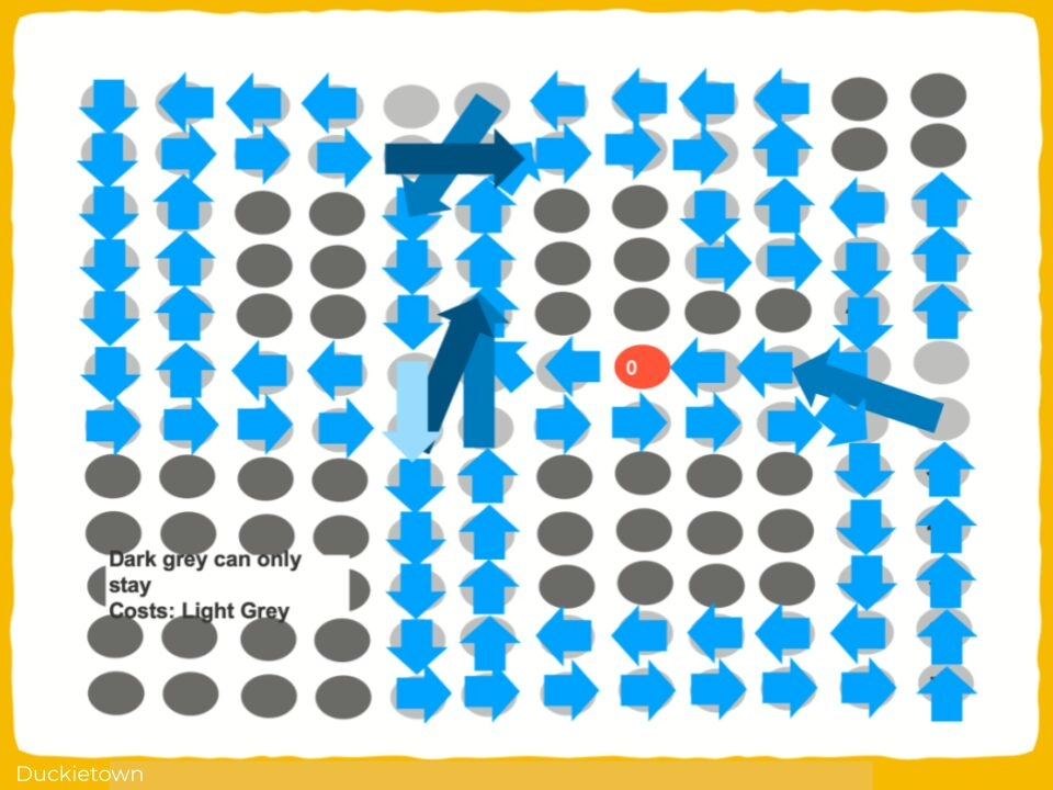
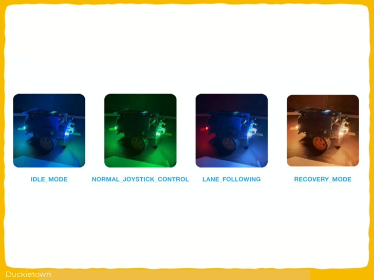
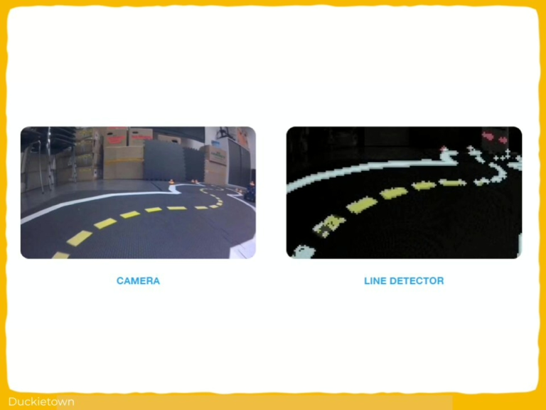
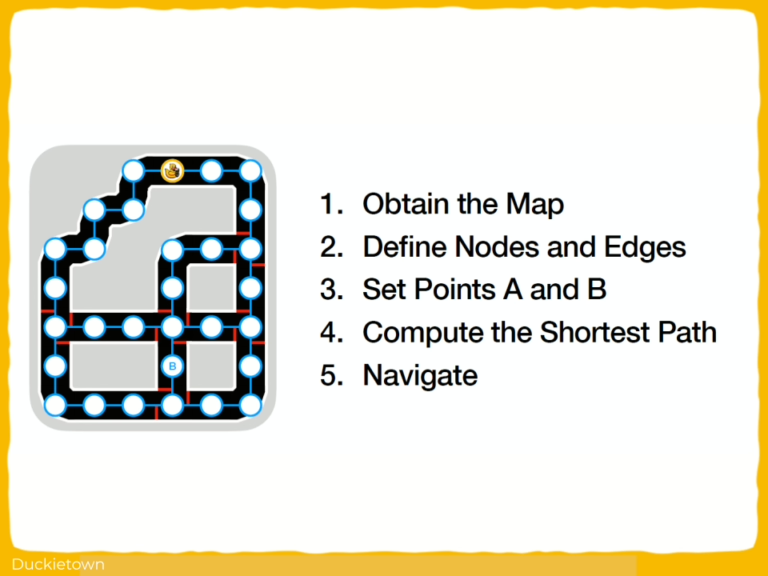
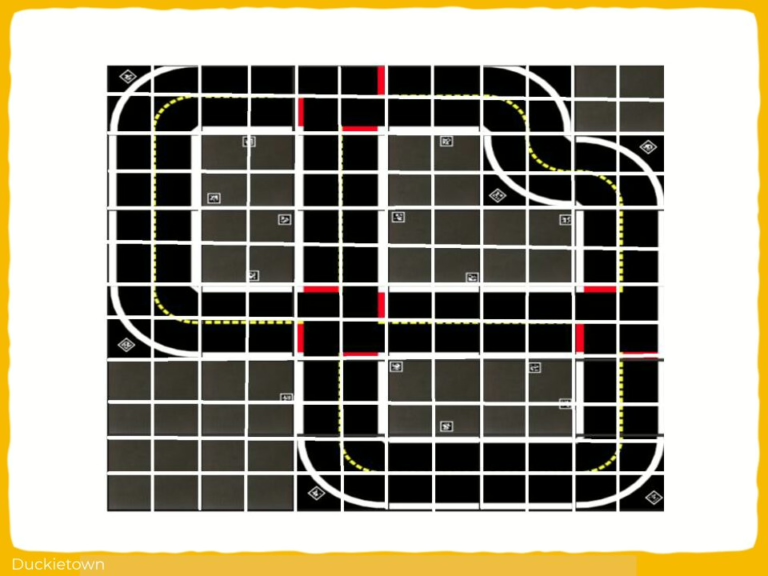
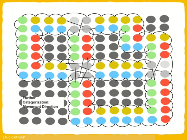
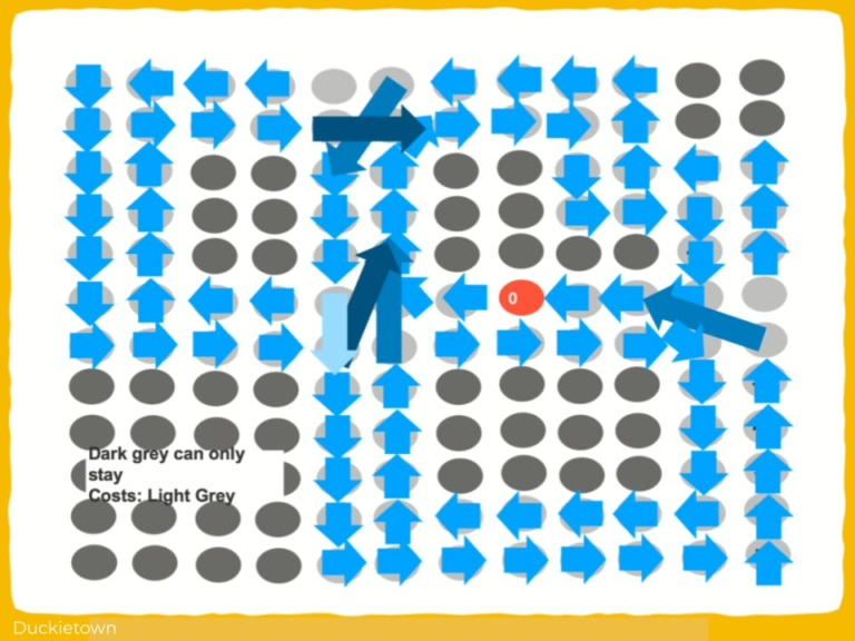
The primary objective of this project is to develop and refine an Autonomous Navigation System within the Duckietown environment, leveraging ROS-based control and computer vision to enable reliable lane following and safe intersection navigation. This includes calibrating sensor inputs, particularly from the camera, IMU, and encoders, and integrating advanced algorithms such as Dijkstra algorithm for optimal path planning. The project aims to ensure that the Duckiebot can autonomously detect lanes, stop lines, and obstacles while dynamically computing the shortest path to any designated point within the mapped environment. Additionally, the system is designed to transition smoothly between operational states (lane following, intersection handling, and recovery) using a refined Finite State Machine approach, all while maintaining robust communication within the ROS ecosystem.

Project Report

The challenges and approach

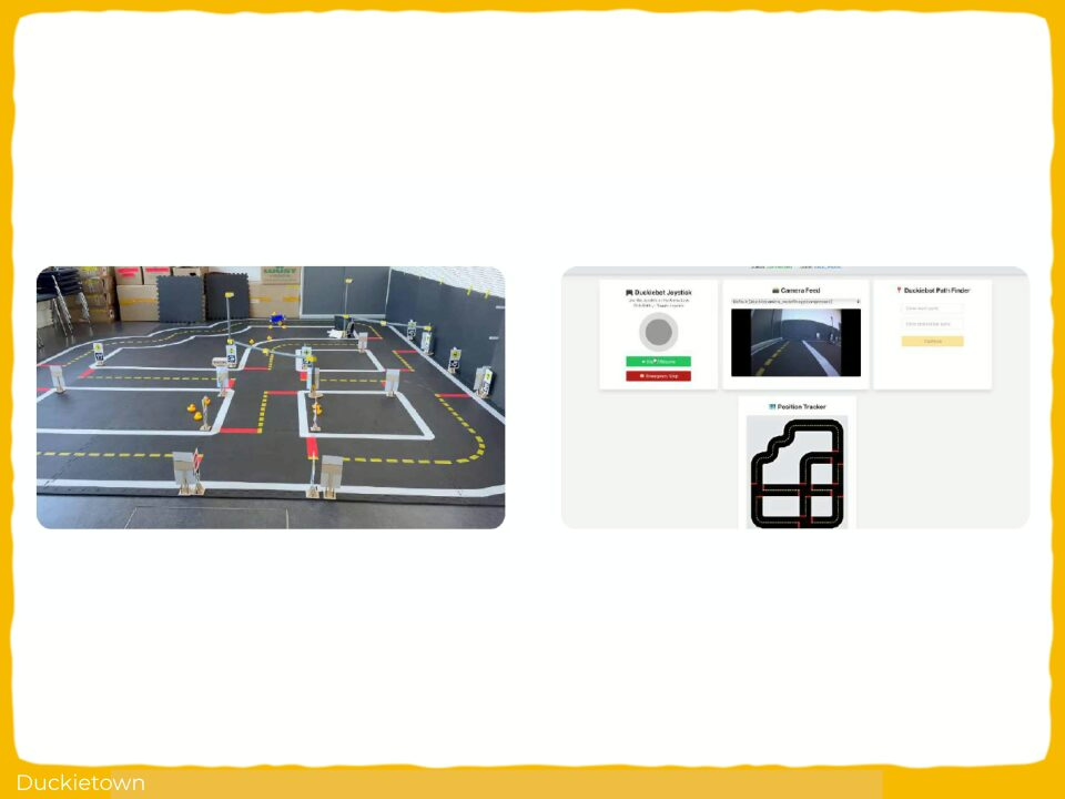
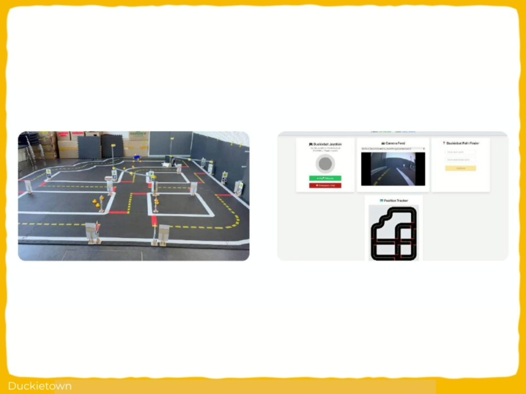
The project faced several challenges, beginning with hardware constraints, such as the physical limitations of wheel traction and battery lifespan, which affected motion stability and operational time. The integration of various ROS packages, some with incomplete documentation and inconsistent coding practices, complicated the development of a reliable and maintainable codebase. The method adopted involved precise sensor calibration to ensure accurate perception and control, incorporating camera intrinsic and extrinsic calibration for improved visual data interpretation, and adjusting wheel parameters to maintain balanced motion. The lane following module required parameter tuning for gain, trim, and heading correction to adapt to Duckietown’s environment. The original FSM-based intersection navigation system was re-engineered due to unreliability in node transitions, replaced with a distance-based approach for intersection stops and turns, ensuring deterministic and reliable behavior. Dijkstra’s algorithm was implemented to create a structured graph representation of the city map, enabling dynamic path planning that adapts to real-time inputs from the perception system. Custom web dashboards built with React.js and roslibjs facilitated monitoring and debugging by providing live data feedback and control interfaces. Through this rigorous and iterative process, the project achieved a robust autonomous navigation system capable of precise path planning and safe maneuvering within Duckietown.

Did this work spark your curiosity?

Autonomous Navigation System Development in Duckietown: Authors

Julien-Alexandre Bertin Klein is currently a Bachelor of Science (BSc.), Information Engineering at the Technical University of Munich, Germany.
Andrea Pellegrin is currently a Bachelor of Science (BSc.), Information Engineering at the Technical University of Munich, Germany.
Fathia Ismail is currently a Bachelor of Science (BSc.), Information Engineering at the Technical University of Munich, Germany.

Learn more

Duckietown is a modular, customizable, and state-of-the-art platform for creating and disseminating robotics and AI learning experiences.

Duckietown is designed to teach, learn, and do research: from exploring the fundamentals of computer science and automation to pushing the boundaries of knowledge.

These spotlight projects are shared to exemplify Duckietown’s value for hands-on learning in robotics and AI, enabling students to apply theoretical concepts to practical challenges in autonomous robotics, boosting competence and job prospects.

PID Control Lane Following in Duckietown

Autonomous Navigation and Parking in Duckietown

Autonomous Navigation and Parking in Duckietown

Project Resources

Project highlights

Static parameters in a dynamic environment are pre-programmed failure points.

Autonomous Navigation and Parking in Duckietown: the objectives

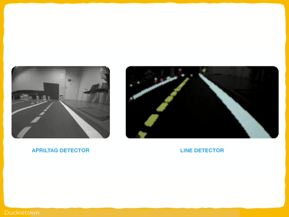
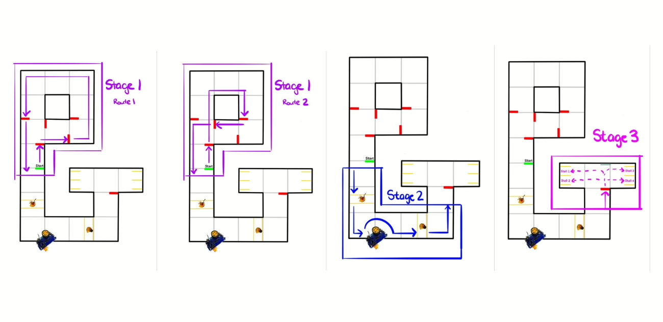
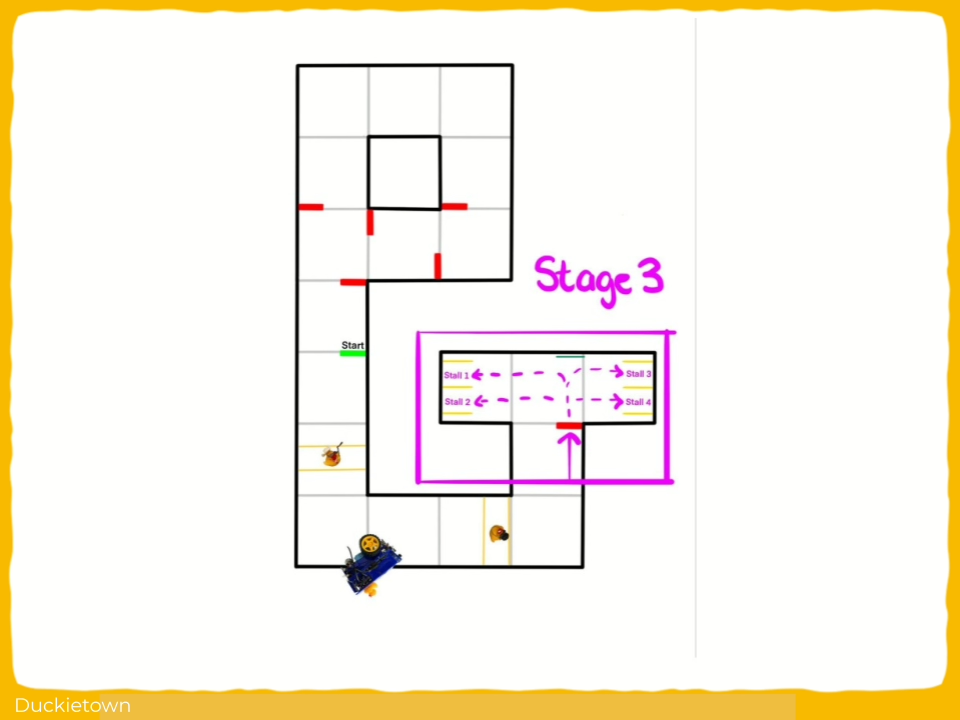
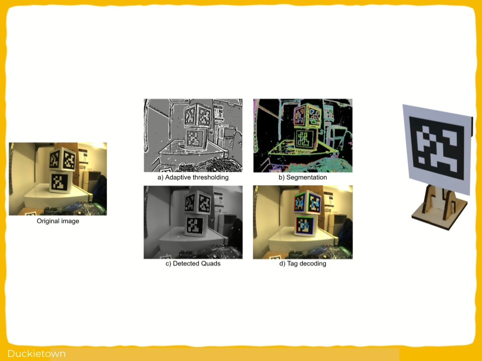
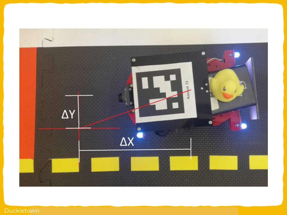
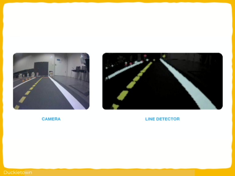
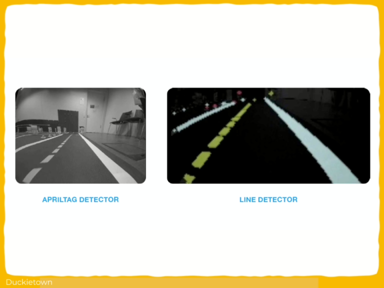
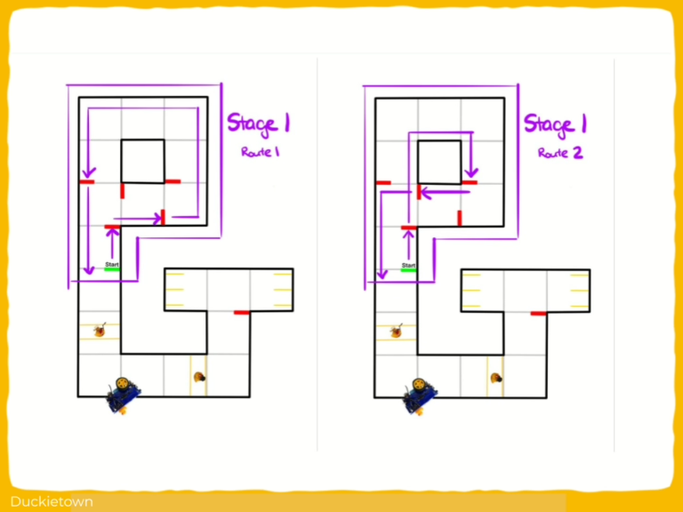
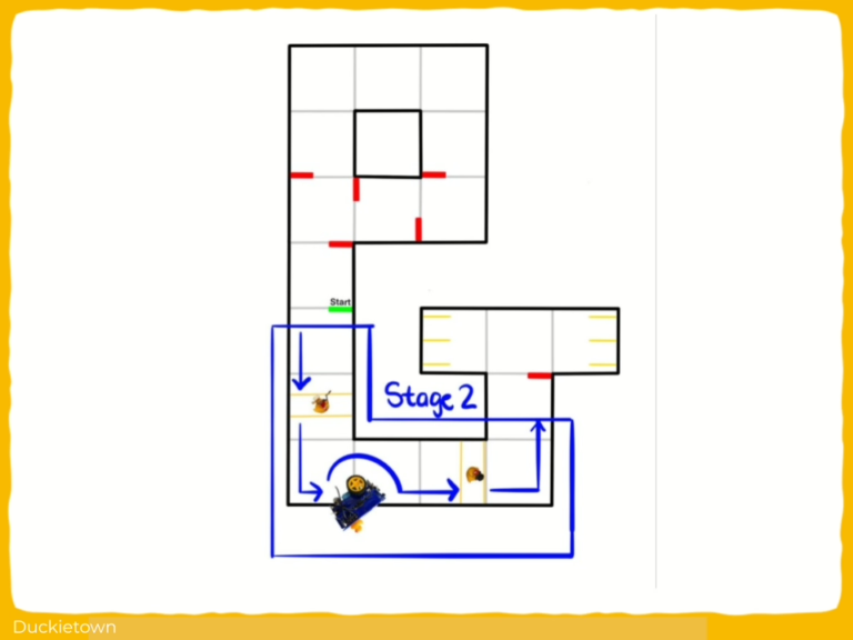
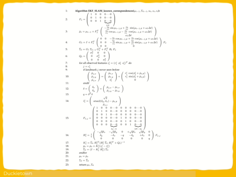
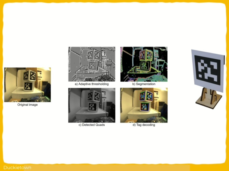
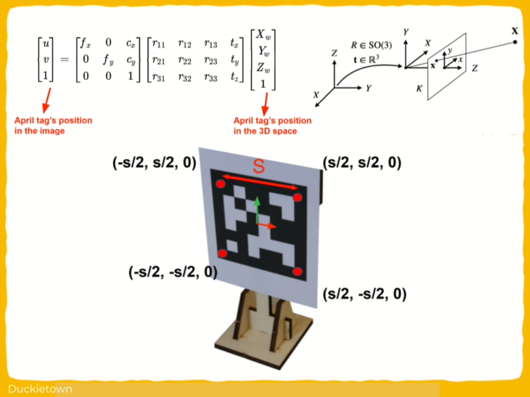
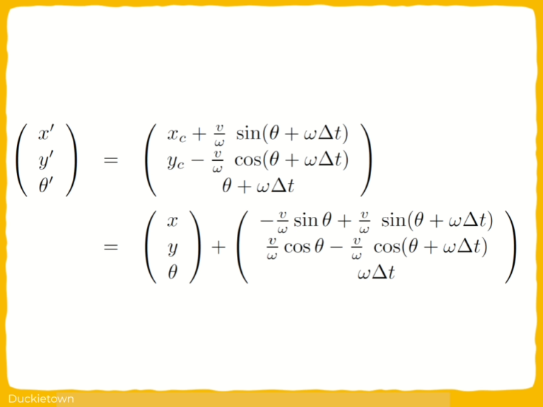
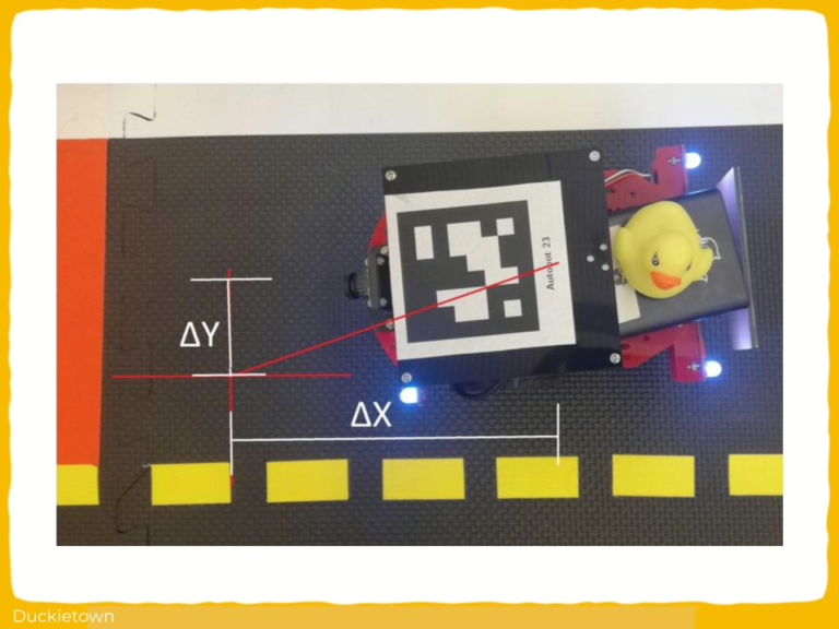
This includes the development of a closed-loop PID control mechanism for continuous lane following, the use of AprilTag detection for intersection decision-making, and a state-driven behavior architecture to transition between tasks such as stopping, turning, and parking. 

The system uses wheel encoder data for dead-reckoning-based motion execution in the absence of visual cues, and applies HSV-based color segmentation to detect and respond to static and dynamic obstacles. Visual servoing is used for parking alignment based on AprilTag localization. The control logic is modular and supports parameter tuning for hardware variability, with temporal filtering to suppress redundant detections and ensure stability.